
![]()
a proud part of the USGenWeb Project

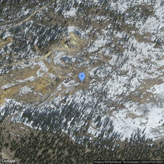
The Resurrection Mill is located in close proximity to Leadville, a town in Colorado. This particular site holds historical significance as it is linked to the Leadville Mining District, which is now encompassed within the boundaries of the Pike National Forest. Operating as a processing plant, the Resurrection Mill played a crucial role in the mining activities of the area. Geologically, the Resurrection Mill is situated in the Southern Rocky Mountains physiographic province, which is a distinct region within the larger Rocky Mountain System.
The geomorphology of the surrounding area is shaped by the characteristics and features of the Southern Rocky Mountains. These include rugged terrain, mountain ranges, and deep valleys, all contributing to the unique landscape in which the Resurrection Mill is situated.
“In mining parlance ‘grubstake’ means that one man or more has agreed to furnish some other man with provisions and supplies, and a certain amount of money to be used on a prospecting expedition; the man furnishing the ‘grubstake’ to share with the prospector in anything that the latter may find.”
Source: Grubstake
Satellite View:
About the MRDS Data:
All mine locations were obtained from the USGS Mineral Resources Data System. The locations and other information in this database have not been verified for accuracy. It should be assumed that all mines are on private property.
This page was last updated
Please to not ask for specfic research on your family. I am unable to do your personal research.
![]()