
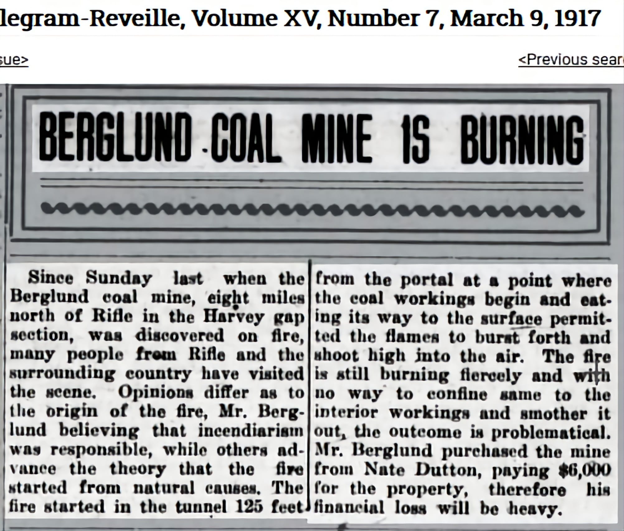
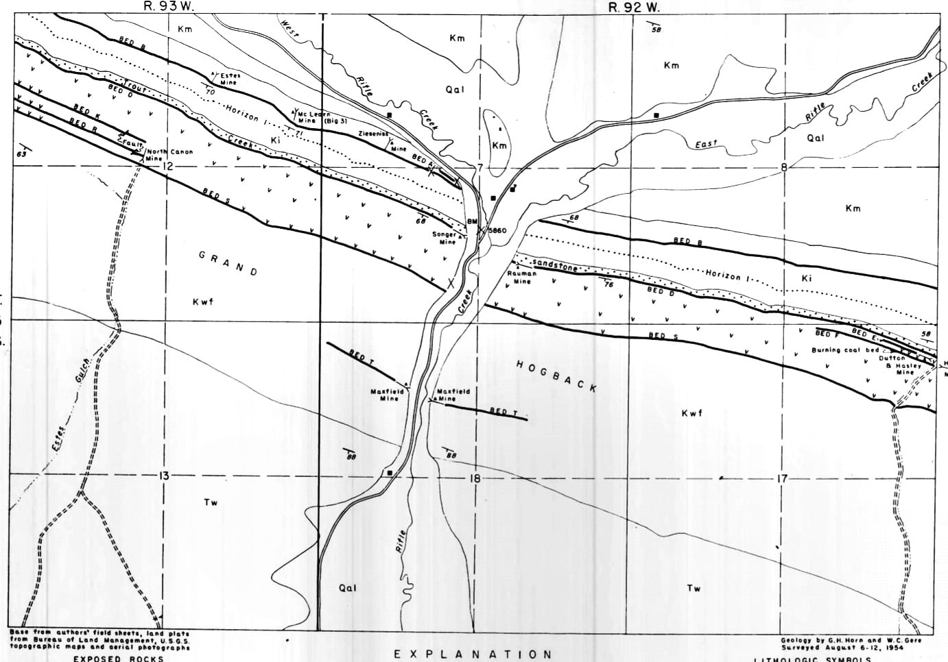
March 4, 1917 was the date of the big coal mine fire in the Harvey
Gap district. Map at the end places the mine about 3 miles east of Rifle
Gap.
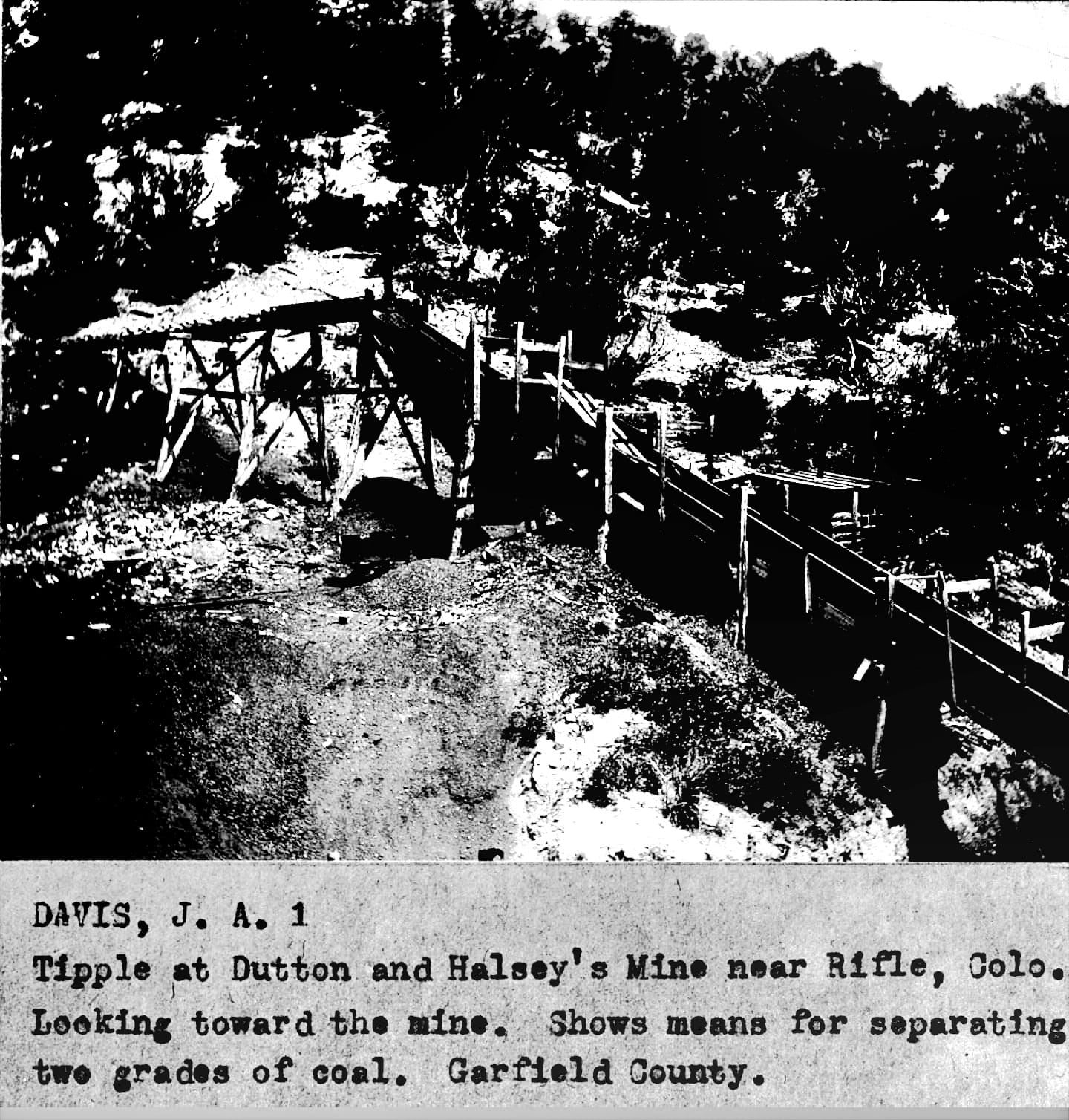
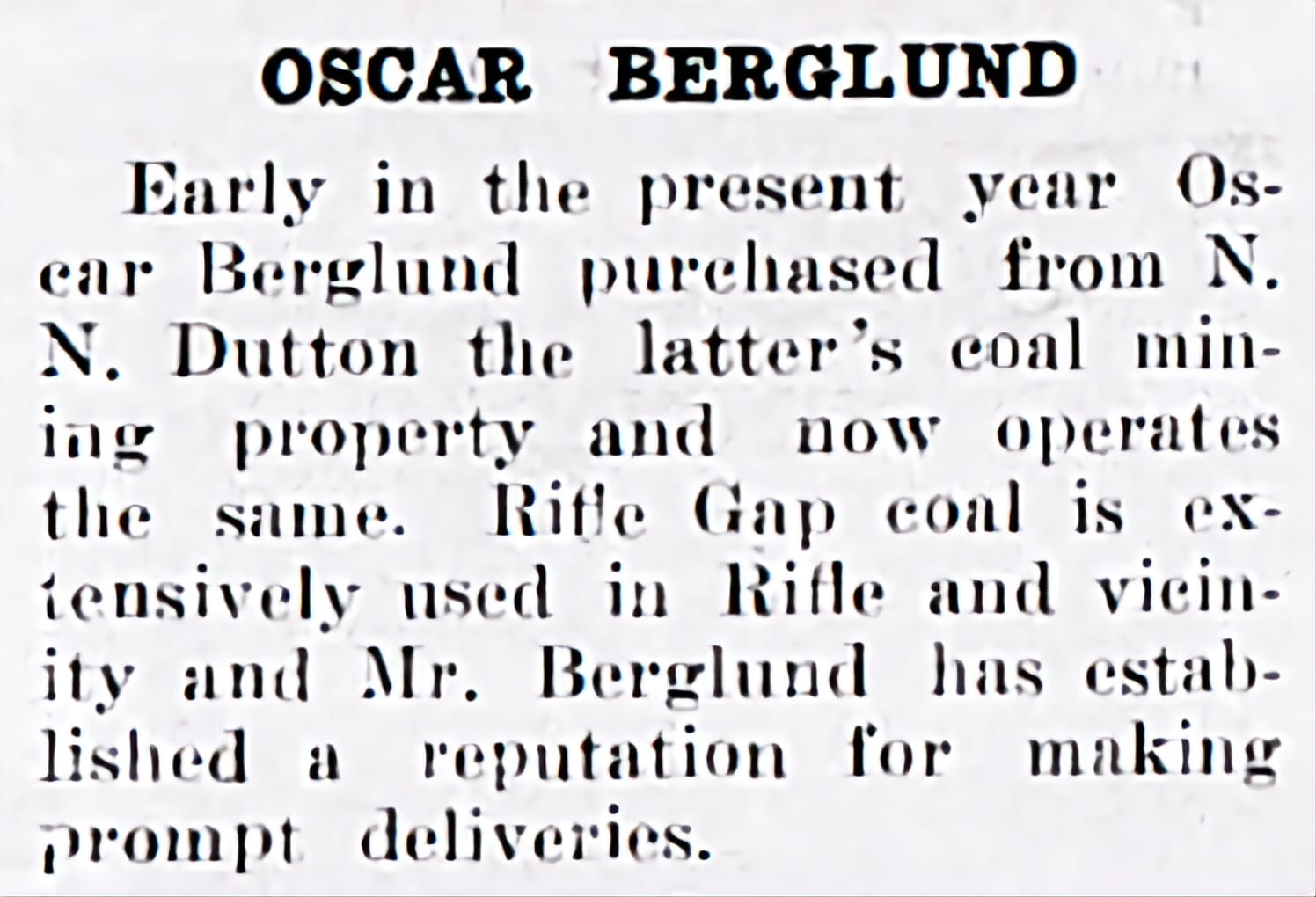
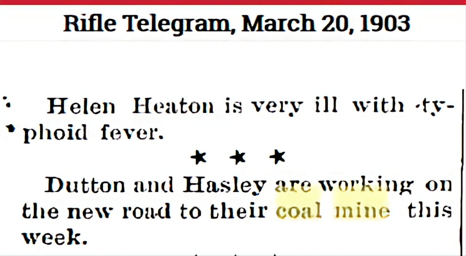
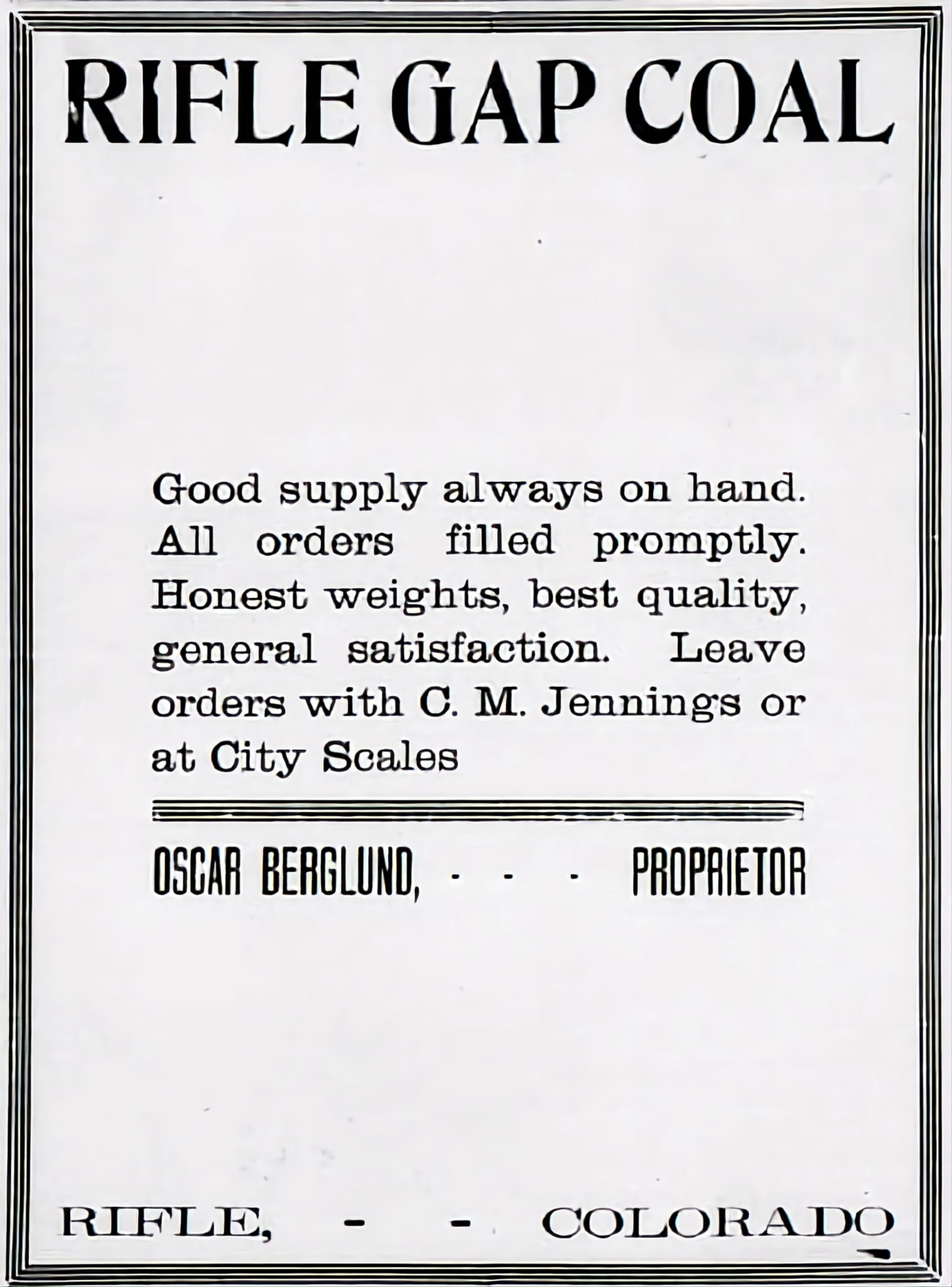
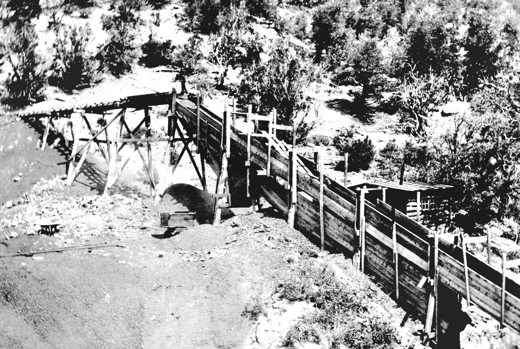
The Berglund Mine, formerly the Dutton Mine, caught fire in the
tunnel 125 feet from the portal at a point where the coal workings
began.
The fire burned its way to the surface and flames shot high
in the air.
See map in final image which locates 9 coal mines near
Rifle Gap.
If you have questions, contributions, or problems with this site, email:
Coordinator - Rebecca Maloney
State Coordinator: Colleen Pustola
Asst. State Coordinators: Rebecca Maloney - Betty Baker - M.D. Monk
If you have questions or problems with this site, email the County Coordinator. Please to not ask for specfic research on your family. I am unable to do your personal research.
