Dolores County COGenWeb
COGenWeb a proud partner of USGenWeb
HISTORY
 Dolores County, Colorado is situated in south-western corner of
Colorado, in the center of some of Colorado's richest ranch land. In 1877
Ouray is carved out of Gunnison County, and in 1881 Dolores is sectioned out
of Ouray. The county seat is Dove Creek. Check out the
Colorado County
Evolution map to see a timeline of how the counties were formed.
Dolores County, Colorado is situated in south-western corner of
Colorado, in the center of some of Colorado's richest ranch land. In 1877
Ouray is carved out of Gunnison County, and in 1881 Dolores is sectioned out
of Ouray. The county seat is Dove Creek. Check out the
Colorado County
Evolution map to see a timeline of how the counties were formed.
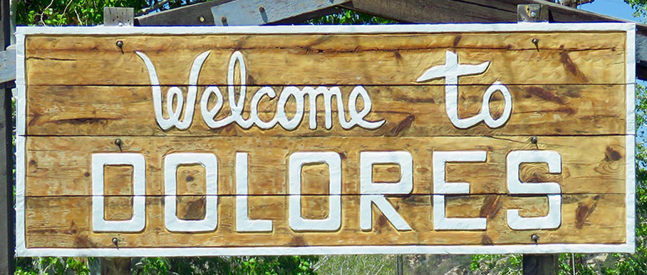
Dolores County's name comes from the Dolores River, the Rio de Nuestra de los dolores reported by Father Escalante in 1776. Rico, the only town in the county in 1881 was named county seat. It lost the designation to Dove Creek in 1941 because of the latter's increased population and business activity, and the formers mining decline. Today, the town of Dolores is in Montezuma County.
 In 2009, Dolores County became known the most economically depressed county in Colorado. It's the seventh-least populous, with a 2010 population of 2,064. Dove Creek is the county seat.
Good news is that in 2025, population is estimated at 2,467.
In 2009, Dolores County became known the most economically depressed county in Colorado. It's the seventh-least populous, with a 2010 population of 2,064. Dove Creek is the county seat.
Good news is that in 2025, population is estimated at 2,467.
Fifty percent of Dolores County is government-owned forestland, part of the San Juan National Forest. The area is rich in archeological history and is believed to have been inhabited by humans as early as 2500 B.C.E.
Dolores County is home to several hundred Anasazi sites.
This page was last