Boulder County Maps
Historic maps are a valuable resource. They show
the locations of towns, communities, and villages that are no
longer
in existance, give you a sense of how things have changed over
the centuries, and help you place in time and space where your
family migrated from point "A" to point "B."
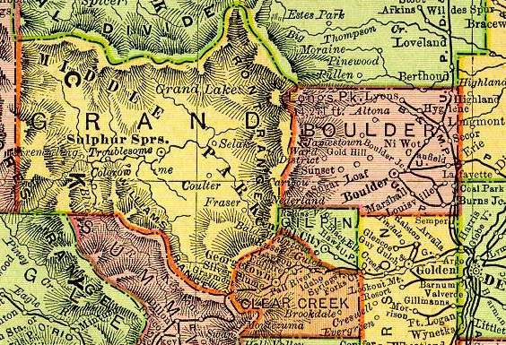
Large detail map of Boulder county
 |
 |
 |
||
| 1895 Rand McNally Railroad Atlas of the United States |
1905 Untitled School Map |
1920 |